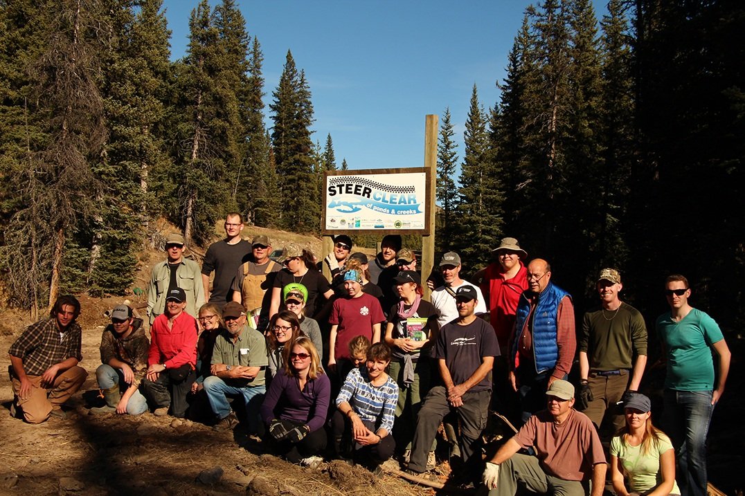
By Rob Taylor, OWC Staff
The intent of this blog is to address some of the misinformation circulating around the Draft Management Plan and other regional plans including the South Saskatchewan Regional Plan and the proposed Livingstone-Porcupine Land Footprint Management and Recreation Management Plans.
Ever since the announcement of the Castle Provincial Park and Castle Wildland Provincial Park Draft Management Plan by the Provincial Government, there have been many questions circulating around our social media and other pages about how the proposed plan will impact different user groups.
We hope this article will help provide some answers.

Photo credit: Rob Taylor, OWC Staff, January 20, 2017
Provincial Government Castle Draft Management Plan Announcement
Kootenai Brown Pioneer Village, Pincher Creek
Consultation
Since the announcement of the intent to further protect the Castle region in September of 2015, there has been a wide variety of public consultations that have aided the government in developing the draft plan. Initially, there was a 30-day online period that lasted from September 4 to October 5, 2015. Part of this comment period was an online survey, which was completed by 3400 people, and there were also numerous letters received providing more detailed comments.
During plan development, the Provincial Government worked with key stakeholders - including First Nations, ecology and land-uses working groups, and municipalities- to identify information and issues. According to the Provincial Government, over 45 meetings were held between July 1st and November 30th. Finally, there is now an additional 60-day public comment period on the Draft Management Plan. Once the Plan receives any amendments following this period, it will still need to be approved by Cabinet before it can be implemented.
OHVs and the Castle
The OWC has worked hard to provide a forum for all voices and interest groups to be heard during the development of this plan. However, there are serious ecological thresholds in these backcountry areas that simply must be respected if we are to safeguard clean, clear water for generations to come. The Provincial Government has therefore determined that recreational off-highway vehicle use is not supportable in the Castle Provincial Park and Castle Wildland Park.
Here, there are extremely high biodiversity values, the necessity to protect the headwaters of the Oldman watershed, and critical fish habitat for species at risk: the Castle sub-watershed supplies 30% of the total flow of the Oldman River. This is the highest of ANY of the sub-watersheds in the headwaters.

Photo Credit: Rob Taylor
OWC Seasonal Staff using an OHV to access a backcountry site for a restoration project in the Lost Creek area.
Rather than implement an immediate ban, the Provincial Government has decided to phase out OHV use in the Castle. This transition strategy will allow short-term use on designated trails north of highway 774 (3 to 5 years), while recreational OHV use south of highway 774 will cease starting May 1st of this year. This transitional period will also be used to reclaim or repurpose unauthorized random trails throughout the Castle Provincial Park and the Castle Wildland Park. (Highway 774 runs south from Beaver Mines to Castle Ski Resort.)
Motorized Recreation opportunities provided on alternate public land?
During the announcement of the Castle Draft Plan, the Provincial Government stated that they would continue to provide motorized recreation opportunities on adjacent Crown land. Specifically, this refers to the Livingstone and Porcupine Hills management areas. There have been some questions about whether this access, too, would be eventually phased out, but the OWC is currently unaware of any plans contrary to a permanent decision in this regard. Motorized recreation in the Livingstone and Porcupine Hills management areas falls under the Livingstone-Porcupine Hills Integrated Resource Plan (IRP), already mapped out in 1987.
Answering the 6,000 foot question
The IRP sets out different land use zones in the region that could support differing levels - and kinds - of use. There has been some talk about a proposed High Rock Protected Area north of Crowsnest Pass that includes Crowsnest Mountain and much of the continental divide. This is a proposed conservation area under the SSRP, but it was initially identified as a Zone 1 or "Prime Protection" area - again, under the 1987 IRP.
Zone 1 or Prime Protection refers to areas with environmentally sensitive terrain or valuable aesthetic resources. This land-use designation is considered compatible with activities such as non-motorized recreation, fishing, hunting, trapping, and scientific study.
Zone 1 areas are typically located in Alpine and Sub-Alpine environments where slopes are extreme. In these areas, the potential for erosion is the highest and vegetation growth is slow and sensitive. Due to this sensitivity, and the biodiversity that depends on it, many land-uses are not permitted in Zone 1. Although this designation is correlated with elevation, it is not defined by a set elevation (i.e. 6000 feet), but rather by the severity of the slope, soil type, and plant communities.

Map from the 1987 Livingstone-Porcupine Hills IRP showing Eastern Slopes Zoning, including Zone 1 Prime Protection areas. It is now proposed that these areas receive further protection under the South Saskatchewan Regional Plan.
(Click on image to hyperlink to IRP)

Compatible land uses in the different Eastern Slopes zones, as identified in the 1987 Livingstone-Porcupine Hills Integrated Resource Plan. Zone 1 is highlighted.
(Click on image to hyperlink to IRP)
Parallel to the Castle Management Plan, the Provincial Government has been developing regional management plans for the Livingstone-Porcupine Hills.
These are: the Land Footprint Management Plan (LFMP - one document addressing both areas), and Recreation Management Plans (RMP - one for each the Porcupine Hills and the Livingstone areas).
The need for these plans was outlined in the South Saskatchewan Regional Plan (approved in 2014 but in development since 2009). The most recent update on the progress of these plans is that they will be entering the final phase of consultation in February and that, optimistically, a Public Land Use Zone (PLUZ) will be established on the Porcupine Hills Forest Reserve later this year.
Porcupine Hills and the Livingstone do not currently have PLUZ designations but do have other dispositions for grazing and forestry. The establishment of a PLUZ will allow for the development of an interim trail system and give enforcement officers added capacity to write tickets following the specified penalty amounts set out in the Public Lands Administration Regulations (PLAR).
The draft Land Footprint Management Plan will establish thresholds for linear footprint densities in the region based on well-documented ecological thresholds. Following the establishment of a PLUZ, an interim trail network will be developed that meets these targets.
This proposed interim trail system has not yet been set and is only a temporary measure
to allow enforcement of the PLAR specified penalties.
This proposed regional trail system plan will:
- use the Alberta Recreation Corridor and Trails Classification System to identify and designate winter and summer motorized, non-motorized, and mixed-use land- and water-based trails, routes, and areas that link communities, neighborhoods, destinations, and other jurisdictions with the region’s parks, outdoor spaces, and recreation and tourism areas;
- identify and designate sustainable, high-intensity motorized recreation areas;
- identify other infrastructure and facilities necessary to support trails-based recreation;
- be planned, developed, and managed in accordance with the standards and guides set out in the Provincial Trails System and other supporting documents.
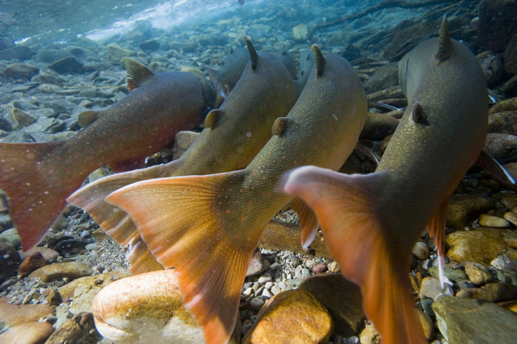
Hunting and Fishing
Hunting seasons and allocations within the Wildland Provincial Park will continue to follow the existing Alberta Government regulatory processes. Motorized access for retrieval of animals will be subject to the conditions identified in the park management plan.

Photo credit: Connie Simmons
Eastern Slopes of the Castle region
Hunting in the Provincial Park will be implemented in a two-phased approach that will allow for recreational hunting, ensuring that it is primarily for the purpose of managing wildlife populations.
Additional regulatory restrictions, such as firearm discharge permits, will be used in the short-term to manage hunting within Castle Provincial Park. Concessions may also be made for the use of motorized vehicles to aid in the retrieval of downed game.
Angling will continue to follow the existing Alberta Government regulatory processes.
Firewood and Christmas Tree Harvest in the Castle
Many people in Southwest Alberta also utilize the Castle for the collection of firewood and Christmas trees, utilizing the TM66 Temporary Field Authorization permits. Non-commercial timber harvest will continue to be allowed as a part of the vegetation management strategies for the proposed park. The Castle Draft Plan states that areas will be identified where firewood and Christmas tree harvesting are sustainable and appropriate.
Photo credit: Ryan Bell
Fire pit in Willow Creek random camping area.
Grazing
Grazing management practices will be reviewed to align with the conservation values identified in the plan. This includes the protection of headwaters and critical habitat, and the provision of high-quality recreational experiences.
To facilitate these aims, priorities will be on the elimination and / or minimization of cattle impact in the alpine areas, and the protection of critical fish habitat and riparian areas. Additionally, grazing will continue to create a desired mosaic of forest and grassland ecosystems in the Castle Provincial Park and the Castle Wildland Provincial Park, thus meeting the needs of wildlife as well as supporting the overall health of the native grasslands. Native grasslands (rough fescue) are a critical carbon sink, yet only 24% of our original grasslands remain.

Photo credit: Thomas Porter
Cattle grazing next to a random campsite in the Castle.
Camping
Camping opportunities will be aligned with the Alberta Parks’ legislation and regulations. As a result, motorized random camping will not be permitted - anywhere. Camping will instead be limited to designated rustic group camps (locations TBA).
Existing formalized automobile-accessible campgrounds will continue to be supported, and may be upgraded, to include additional services such as power and water. Random camping in the backcountry will be allowed by non-motorized access only and is subject to conditions laid out in the draft management plan.

Photo credit: Thomas Porter
Castle Falls Provincial Recreation Area
Give Your Feedback!
Albertans have 60 days to provide input on the draft plan and OWC encourages all stakeholders to provide feedback. We will continue to provide updates for you.
Please participate by completing the online survey, emailing or mailing in your comments, and/or attending the public open houses planned for mid-February. The draft plan, FAQs, and all related information are found here:
https://talkaep.alberta.ca/CastleManagementPlan?gclid=CKfvhPDv0dECFQ5EfgodnPQNFA
Want to learn more about the Oldman Watershed Council's work in the backcountry addressing motorized recreation? Check out our Engaging Recreationists page to see what we have accomplished!